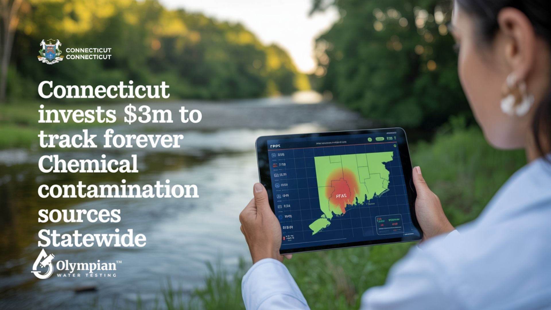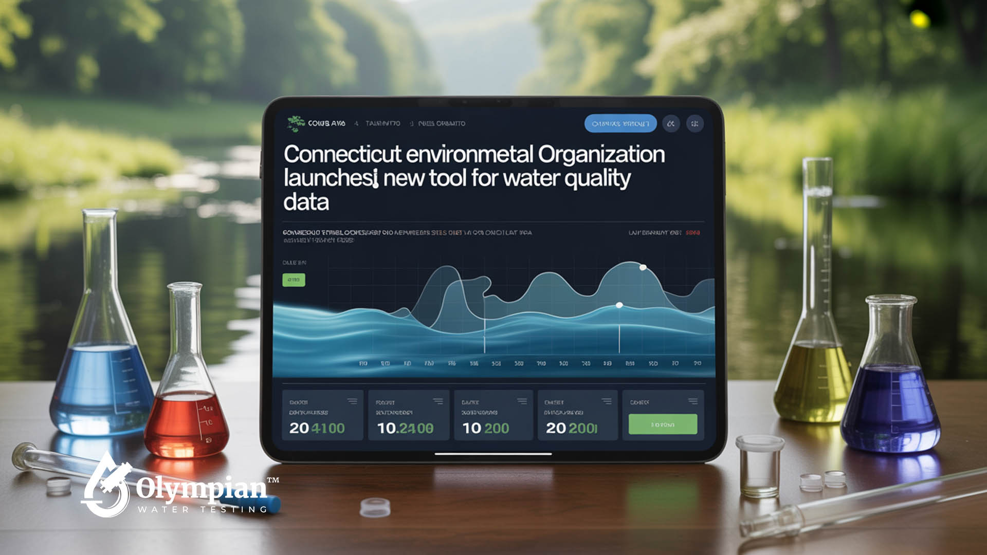
Introducing Connecticut’s Latest Environmental Tool
Statewide efforts to protect water resources have been enhanced by QuickDrops. This innovative platform offers immediate updates on environmental changes. It provides essential metrics to researchers and residents alike. QuickDrops excels by integrating Real-Time Data Monitoring, tracking local waterways efficiently.
Overview of the tool’s development
QuickDrops was developed through meticulous planning and collaboration. Experts analyzed local conditions and identified system gaps. They created features for responsive insights into water quality. This resulted in a platform that delivers timely updates, enabling users to act quickly.
Key stakeholders involved in its creation
Several partners contributed to QuickDrops. KISTERS brought data management expertise. The Maritime Aquarium at Norwalk shared marine preservation knowledge. The University of Connecticut supported the project with academic research. Their collective efforts ensured the tool’s Real-Time Data Monitoring meets high standards of accuracy.
Partner | Role |
KISTERS | Data Management Solutions |
The Maritime Aquarium at Norwalk | Marine Conservation Insights |
University of Connecticut | Academic Research Support |
Why Water Quality Data Matters for Connecticut Residents
Clean water is essential for the health of our communities. Timely data informs families about pollution levels in local beaches and rivers. In Connecticut, organizations like Save the Sound collect data regularly. This empowers residents to safeguard fish habitats and ensure swimming areas remain safe.
Environmental Nonprofits use this data to shape policies that protect the Long Island Sound. Accurate information leads to stronger laws and better conservation efforts. It also increases public engagement. Ongoing monitoring helps reduce contamination risks, safeguarding wildlife for future generations.
Water quality data is a cornerstone for public advocacy in Connecticut. Environmental Nonprofits bring attention to issues early, guiding community action. This protects wetlands, shorelines, and drinking water supplies. Focused research connects policy with practical solutions, promoting healthier natural resources.
Key Benefit | Explanation |
Public Health | Helps communities identify contamination risks |
Preserves Marine Species | Monitors conditions to maintain fish populations |
Encourages Transparency | Provides open access to reliable data |
How the New System Operates Behind the Scenes
This platform combines water quality data from hundreds of monitoring sites. It relies on volunteers and experts, making it simple to upload data to the EPA’s Water Quality Exchange.
Community Science Initiatives are integral to this process. They ensure that both citizens and environmental experts contribute to tracking changes in real time. This leads to a clear flow of data, guiding the management of waterways across the state.
Data collection and processing methods

Teams collect data from automated sensors, handheld devices, and spot checks. Each piece of information—like pH levels, contaminants, or temperature—is processed digitally. This process organizes and refines the data before it’s stored.
Community Science Initiatives add to this effort by providing regular updates from various areas. These local measurements are then combined with official data, giving a well-rounded view of water health.
Technical infrastructure for real-time updates
High-performance servers and secure cloud technologies enable instant uploads and analysis. The system’s design allows for easy scaling, accommodating both low and high volumes of data.
Alerts and visual dashboards are triggered as conditions change. This gives communities and policymakers the tools to act quickly and maintain ecological balance over time.
Expected Benefits to Local Ecosystems and Public Health

Connecticut’s water systems are now under closer scrutiny thanks to a broader data collection effort. The QuickDrops initiative feeds its data into the EPA Water Quality Exchange. This opens up a wealth of insights, enabling more effective interventions.
Enhancing pollution control measures
Local teams can now pinpoint contaminants with greater speed, thanks to real-time metrics. The EPA Water Quality Exchange provides critical data on pollution hotspots. This information sharpens the focus of cleanup efforts, making them more targeted.
Strengthening community awareness

When vital information is readily accessible, public engagement surges. Town officials and residents can monitor water quality and share their findings. This sparks conversations about the need for safer drinking water sources. QuickDrops empowers communities, schools, and advocacy groups to take action. By embracing open data, everyone plays a part in safeguarding public health.
Unique Features of the Digital Tracking Interface
This platform offers real-time visual data on water conditions through an interactive dashboard. Users can explore parameters like temperature, salinity, and dissolved oxygen. The design allows for direct embedding in reports, pages, and community forums. This makes it easy for experts and residents to share findings without confusion.
These features are vital for Healthy Waters and Lands in Connecticut and beyond. NOAA and the Environmental Protection Agency emphasize the importance of quick data interpretation. It leads to informed decisions. Fast access to trend changes helps in responding to harmful algal blooms or high bacterial levels before they harm local habitats.
Below is an overview of key interface features that safeguard Healthy Waters and Lands:
Feature | Benefit | Practical Use |
Interactive Charts | Simplify complex data analysis | Public outreach sessions |
Real-Time Tracking | Immediate alerts on water changes | Emergency planning |
Customizable Embeds | Seamless integration in reports | Shared data in community portals |
Collaborations with State and Federal Environmental Agencies

The CT Department of Energy and Environmental Protection highlights QuickDrops’ impact in Connecticut. The New York State Department of Environmental Conservation views it as a key tool for protecting ecosystems. These partnerships enhance efforts to control pollution and restore habitats by uniting key players.
QuickDrops works with governments to improve data collection and speed up solutions for water issues. This collaboration aligns with the water quality initiative in other areas, fostering unified action. In Connecticut, it boosts resource management and supports policy-making with up-to-date data.
Agency | Role | Impact |
CT Department of Energy and Environmental Protection | Facilitates statewide adoption | Boosts local engagement |
New York State Department of Environmental Conservation | Provides cross-border oversight | Strengthens regional sustainability |
Insights from Connecticut’s Environmental Specialists
Save the Sound is leading the way in river and shoreline research across the state. Thanks to grants from the National Fish and Wildlife Foundation, experts like Dr. Sarah Crosby and Dr. Jamie Vaudrey are tackling local data gaps head-on.
Expert Opinions on Water Quality Challenges

Environmental science leaders highlight nutrient runoff, overdevelopment, and inconsistent reporting as major hurdles. They believe public awareness is key, advocating for clear statistics and community outreach.
“Preventing pollution starts with accessible facts,” said a local research team. “Citizens can act when they see timely details on what’s happening in tributaries and coastal areas.”
Suggested Improvements for the Tool
Experts suggest standardized data fields and wider mobile compatibility to enhance the tool’s long-term use. Their recommendations mirror Connecticut’s monitoring strategy, which focuses on consistent metrics for tracking changes. They aim to guide policymakers and volunteers toward effective conservation actions.
Public Involvement in Protecting Water Resources

Local residents are the first line of defense for rivers, lakes, and coastal areas. Their hands-on support is critical in safeguarding these natural treasures. It also inspires others to participate in Pollution Control Measures that safeguard public health.
Community Action and Volunteer Programs
Neighborhoods often organize cleanup events and membership drives during Earth Month. These initiatives highlight the impact of discarded waste and runoff on ecosystems. Volunteers enhance local habitats and build connections, deepening their dedication to water protection.
Importance of Consistent Monitoring
Reliable data is essential for making informed decisions. QuickDrops provides tools that enable individuals to track and share updates on water conditions. This ongoing monitoring helps identify problem areas and supports Pollution Control Measures, leading to significant improvements.
Initiative | Purpose |
Cleanup Events | Remove trash from local waterways |
Membership Drives | Increase community collaboration |
Volunteer Monitoring | Gather vital water quality data |
Earth Month Activities | Promote environmental awareness |
Strategies to Address Urban and Rural Waterway Challenges
Introducing real-time monitoring tools, like QuickDrops, enhances water management in both densely populated areas and secluded farming communities. The role of Local Government Collaboration is critical in closing data gaps between urban hubs and rural areas. By sharing updates on runoff levels, stormwater flows, and pollutant sources, planners, environmental agencies, and farmers can align their efforts.
Effective resource allocation occurs when leaders use unified information. Grants and projects focused on reducing contamination are more precise, avoiding unnecessary spending in less affected areas.
Local Government Collaboration flourishes when decision-makers, nonprofit organizations, and community groups work together. Infrastructure funding is directed to the most critical needs, and regulations become clearer with accurate data.
- Encourage open dialogue among municipal offices, farmland owners, and waste management professionals.
- Provide education programs that explain real-time dashboards for tracking runoff.
- Sustain consistent monitoring to detect rising contaminants early.
Security and Accuracy in Recorded Data
The new system applies strict validation steps that build trust among scientists and local communities. It supports coastal wildlife and Marine Ecosystems by confirming that every recorded value meets high standards.
Protocol for ensuring reliable metrics
QuickDrops employs calibration checks and cross-referencing methods to confirm each reading’s authenticity. Field teams gather samples under consistent guidelines, then compare results with automated sensors. This creates a chain of verifiable metrics that reduce human error.
Long-term data storage and integrity
All information moves into protected databases, with multiple backups spread across secure servers. These precautions help researchers trace historical outcomes and recognize changes in Marine Ecosystems more clearly. Utility of these archives extends to public health experts, who study fluctuations in water quality over time. Data remains accessible for ongoing analysis, ensuring that important findings can be reviewed without interruption.
How This Initiative Fits into the National Context
Federal leaders see QuickDrops as a model that blends local data with national systems. It connects seamlessly with the Water Quality Exchange, backed by the Environmental Protection Agency (EPA). This focus on transparency and modern tracking boosts eco-monitoring on a large scale.
Communities understand the value of local data in Sustainable Environmental Solutions beyond Connecticut. Support from federal grants and recognition highlight the power of accurate reports and open data. This approach increases awareness and sets a high standard for safer waterways across the country.
Comparisons with Other State Programs
Local officials have examined similar efforts in states like New York and Washington. Each has data-sharing systems, but QuickDrops stands out for its user-friendly access. Experts view it as a next-level tool, building on previous prototypes.
Potential for Nationwide Adoption
Widespread adoption could bring consistent water metrics to both coastal and inland areas. This momentum supports Sustainable Environmental Solutions by uniting data under one robust framework. Stakeholders foresee broader applications as more states adopt digital resource management.
Sharing the Path Toward a Sustainable Future
QuickDrops connects communities, agencies, and nonprofits through transparent data. It fosters shared investment in local streams and rivers, strengthening bonds among those who depend on them. Everyone gains access to clear metrics, highlighting early successes and areas for improvement.
Data Visualization Tools track real progress and guide strategic responses. Citizen groups and policy teams benefit from charts showing subtle shifts in pH levels or rising pollutant loads. QuickDrops becomes a catalyst for celebrating each goal met and designing fresh methods to safeguard Connecticut’s ecosystems. This momentum leads to long-lasting care for water sources nationwide, preserving a healthier environment for future generations.